Todtnauberg & Surroundings
© Tim Fritz bergwärts
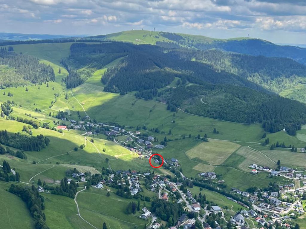
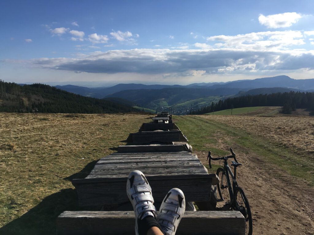
Todtnauberg is a climatic health resort with no through traffic in the southern Black Forest, situated in a sunny, south-facing high valley at an altitude of 900 to 1,100 m on the south-western flank of the Feldberg (the highest mountain in the Black Forest at 1,497 m). The Stübenwasen (1,388 m), Todtnauberg’s local mountain, forms the end of the valley and is therefore a dead end for motorized traffic – but not for hikers, cyclists and skiers, who can immerse themselves in the vastness and heights of the Black Forest from here. From up here you can enjoy an incomparable 180° panoramic view: over the Rhine Valley to the French Vosges mountains and over the heights of the southern Black Forest to the Alps, and on clear days as far as the summit of Mont Blanc.
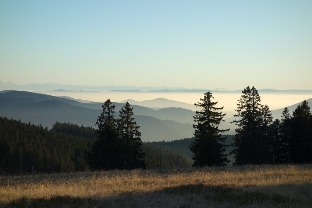
The two other highest peaks in the Black Forest are also not far away: the Belchen (1,414 m), a popular vantage point for hikers, or the Schauinsland (1,284 m), Freiburg’s local mountain, which is particularly popular with cyclists and bikers. The vast horizon and untouched nature are at your feet everywhere here.
But lively cities and international culture are also not far away and easily accessible:
Freiburg or Lörrach are around 30 kilometers away, the border triangle with Bale/Basel (Switzerland) and Strasbourg or Colmar in Alsace (France) are not far. Even Zurich or Lake Constance can be reached in around 1.5 hours.